|
| CAPE
PHOTOS:
(CLICK ON EACH PIC FOR A RELATED WEBSITE)
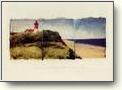
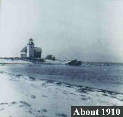 Billingsgate before the entire island was eroded away in the 1930s. In the photo, it is clear that shore erosion is threatening the lighthouse as the sea wall of boulders was built in a futile effort to protect the lighthouse from wave attack. Unfortunately, the sea wall was poorly placed and actually increased the rate of erosion. In the late 1800s there were more than 30 houses and a school on the island.
(Photo provided by the Cape Cod National Seashore).
|
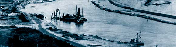 |
BUILDING THE CANAL
(USACE Photo) |

DEXTER RHODODENDRON
Heritage Museum and Gardens, Sandwich.
First plantings made in 1972 for study and comparison.
(dsBiz Photo)
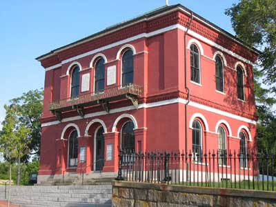
TRAYSER MUSEUM, Barnstable
"Completed 1856, S.B. Phinney, Collector of the Customs"
(dsBiz Photo)
|